So today is memory lane day. Going to head in to a couple of small towns that I used to live in plus visit the most eastern point of Ontario by road.
But first things first. It rained all night. The tent held up, no leaks.
So heading west from Voyager Provincial Park the wind was quite strong. It made for a colder more tiring ride.
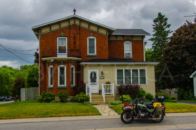
So first stop is Winchester. This is the first town I remember living in. So I pulled up in front of the first house I remember living in. I would have been between the age of three to four years old when we lived in this house. We would live in two other houses in Winchester but I couldn't locate/remember where they were.
They probably look a little different now from when I used to live there.
So here is the very first house I ever lived in.
So next stop is Merrickville. I lived in this town from the age of six until 10. I drove by the house we used to live in but didn't stop to take any pictures as I didn't want to freak out the lady that lives there.
On to the The Goose & Gridiron, which used to be the Grenville when I lived there, for some soup and a beer. Upon leaving this fine establishment the sun started to shine and the temperature started rising.
So on to the L.C.B.O. to aquire some fine beverages and a quick drive past the first school I ever went to.
Now for some fun. As I was planning out my route for this trip I saw a nice little road, Scotch Line Road. When Google street view won't go down a road you know it is a good road. And it was.
Nice dirt road with a rocky portions and puddles to keep me happy. Then turned on to Bolton road which turns into Kyle road. Nice twisty dirt roads.
On from there was south to the St. Lawrence river to ride the Long Sault Parkway which was created by the flooding of the St. Lawrence river when it was dammed.
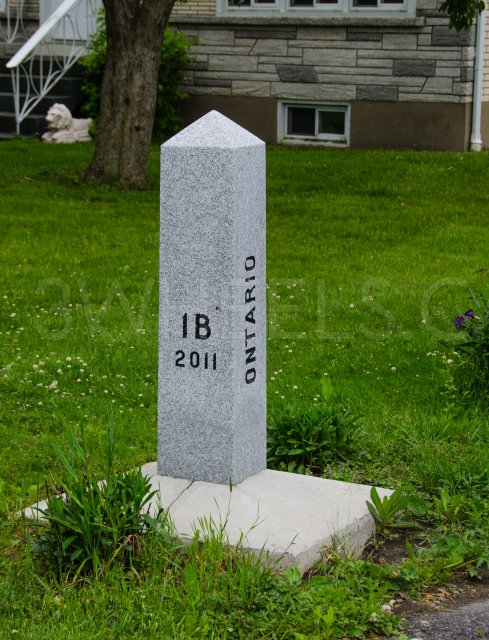
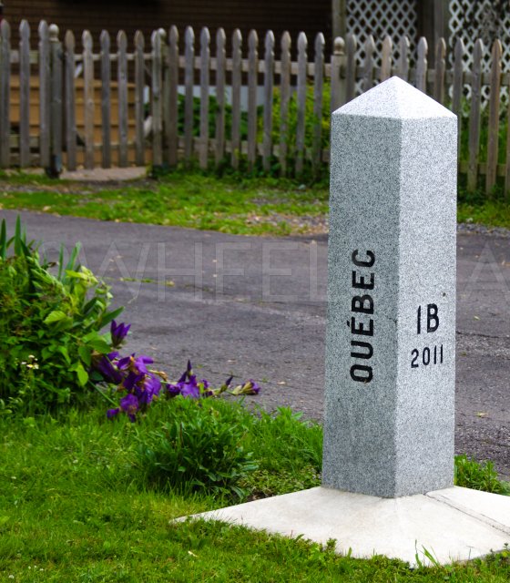
After that a stop just south east of Curry Hill which is the most eastern point of Ontario. There is a marker placed on the lawn of a house there so here are the pictures.
From there I just followed the St. Lawrence river crossing in to Quebec and then up the Ottawa river back to Voyager Provincial Park. I was thinking that the park store would still be open but it wasn't so back on the bike up to Hawkesbury to grab some ice and hamburger buns.
Video from day 002
Map day two
Garmin GPS data for day two


